by Sarita Chemburkar and Navnath Ghodake
To understand and manage groundwater resources and their planning in an appropriate way, a Hydrogeological survey was conducted in the Yacharam and Manchal Mandal villages of Ranga Reddy district of Telangana.

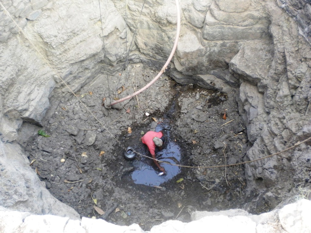
Rapid urbanisation has put tremendous stress on natural resources and an increasing demand in the urban areas creates an opportunity for the surrounding rural areas to supply or provide resources to the urban population. Due to the demand for extracting groundwater, farmers keep on drilling wells and bore wells to fulfill their needs. This demand and urbanisation has triggered unplanned groundwater extraction leading to stress on groundwater resources in hard crystalline rocks.
There is a need for understanding the groundwater system and supporting decisions or strategic tools or methods that will improve the groundwater management in crystalline aquifers at suitable scales. Crystalline aquifers are rocks that are permeable only when they are fractured and generally yield only a small amount of water to the wells. However, the understanding of the occurrence and movement of groundwater in crystalline aquifers is challenging. There is a need to improve the understanding of hydrogeological processes in crystalline rock aquifers by adapting the existing methods or to propose alternative solutions and methods for groundwater management in crystalline rock aquifers.
Field survey
To understand and manage groundwater resources and their planning in an appropriate way we have conducted a hydrogeological study in the area of Yacharam and Manchal Mandal villages of Ranga Reddy district of Telangana.
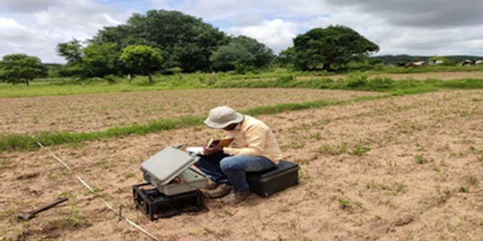
To understand the hydrology of the project village’s, a geophysical survey was conducted. For conducting a survey Vertical Electrical Sounding (VES) method of Schlumberger configuration was used. The total area was divided into a grid and based on physiography (space available for the survey) of the village, resistivity surveys were carried out. The latitude, longitude, elevation, apparent resistivity value, half-width electrode distance (AB/2), and potential electrode distance (MN/2) for each VES point were noted.
The inverse slope method (software) was used for the interpretation of the resistivity data. This graph gives the thickness and apparent resistivity of different rock layers within the subsurface. The low resistivity value of rock layers exhibits groundwater potential zones.

As this is an intense survey, help from Vasundhara Sevak was taken to conduct the survey. Despite rising cases of COVID – 19 village people were ready to conduct the survey understanding the urgency of water scarcity and of conducting the survey. Precaution and social distance were maintained during the survey.
Findings
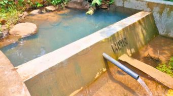
In the project villages, agriculture and livestock consumes most of the groundwater and the main source of irrigation is through bore wells. An increasing number of bore wells has depleted the groundwater level. The hard crystalline granitic aquifer occurred in the area and its yield is variable according to geology and topography. From the geophysical data, it is observed that most of the potential zones of the aquifer are encountered within the depth range of 30-120 m. in the project villages. Despite the rainwater harvesting structure present in this area, the groundwater extraction is more than the groundwater natural recharge in the area. Water quality is poor and fluoride concentration is more.
Conclusion
Awareness of advanced groundwater recharge methods such as bore well recharge, recharge shaft, rooftop rainwater harvesting is important to overcome the groundwater problem. The intensive groundwater usage can be reduced through the application of water efficiency methods in the irrigation sector and through changing the irrigation practices. Modern irrigation systems using drip and sprinkler irrigation equipment have to be used for reducing the stress on the groundwater system and help in enhancing the availability of the resource.
Recommendations
The demand for groundwater can be reduced through the application of water efficiency methods in the irrigation sector and through changing the irrigation practices. Managed Aquifer Recharge methods are suitable and important to improve both, groundwater quantity and quality. Artificial recharge of open wells is also an efficient and low-cost technique wherein the runoff water can be directed into the well after physical filtration.
Crop planning according to water availability should be the priority. The balance between more and less water-intensive crops can be achieved through crop planning to reduce the crop losses experienced by marginalized farmers.
Awareness amongst the community should be done about the hydrogeological conditions and the water quality (mainly fluoride content) of the region. The community should be made aware of the fact that drilling more and more bore wells for extracting groundwater will lead to a decline in groundwater levels. The groundwater recharge and discharge figures of the village will help in enlightening the community and make informed decisions for prioritizing recharge. Village level rules and regulations for the local resource level participatory governance can bring a major change in the behavior of the farmers


